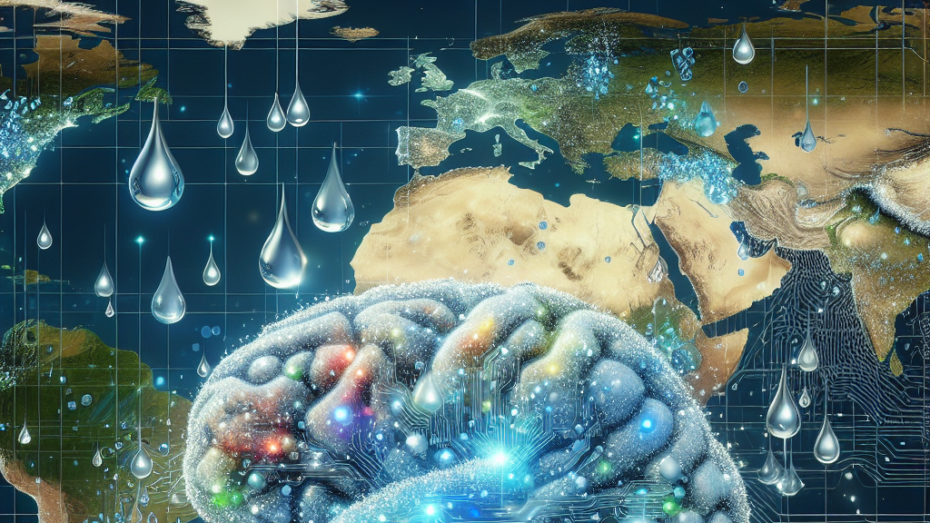





































Imagine being able to map the ocean like never before, pinpointing every distinct water mass accurately. This is no longer just a dream, thanks to new AI techniques that can analyze vast amounts of data to reveal detailed insights into our oceans’ hidden structures. These insights could be vital for marine conservation efforts and understanding environmental changes.
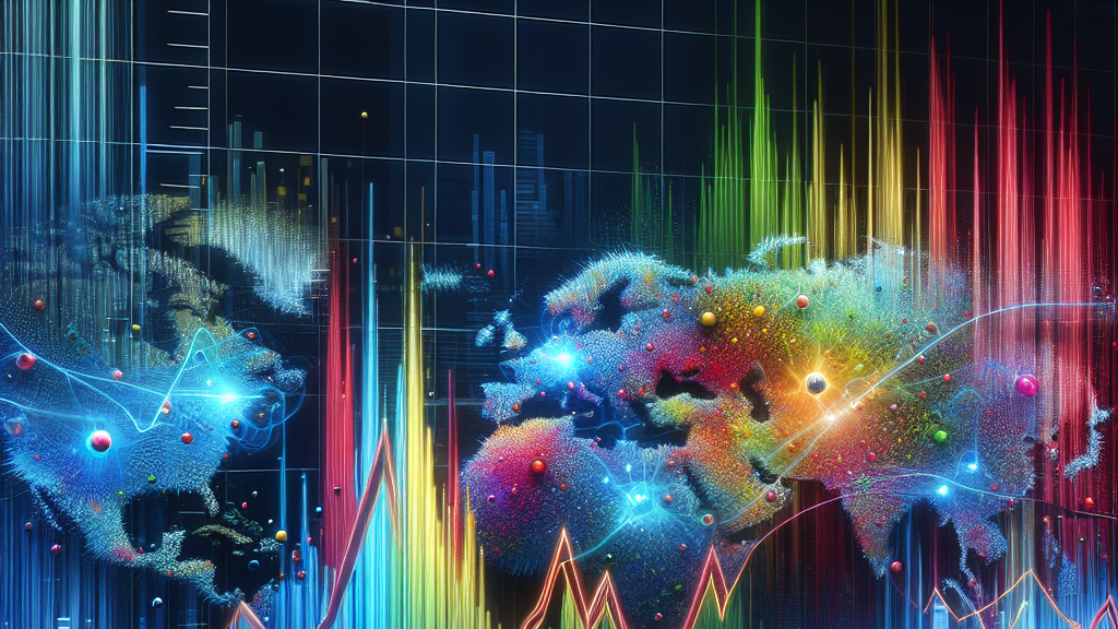
Researchers have used cutting-edge AI approaches to map the North Atlantic Ocean objectively. By feeding tons of data into machine learning algorithms, they’ve created a new kind of ocean map that identifies clusters of water masses. These clusters were derived from measurements of vital ocean characteristics like salinity, temperature, and nutrient concentrations. The result is a comprehensive, reproducible map that offers a clearer picture of the ocean’s diverse habitats.
In simpler terms, think of it like using a microscope for the ocean. We can now see things in more detail than before. This new method doesn’t just have academic importance—it can directly impact how we protect marine life. Better maps mean better tools for setting up marine protected areas, aiding in the fight against climate change, and preserving biodiversity for generations to come.
Did you know? The ocean regions mapped in this study used data from over 300 million measurements!
FAQs
How does AI improve ocean mapping?
AI analyzes vast amounts of oceanic data efficiently, identifying patterns and clusters in water masses that were previously hard to pinpoint. This leads to more accurate and reproducible maps.
What are the implications for marine conservation?
AI-generated ocean maps can help identify key areas for marine protection by offering precise data on different water masses, contributing to better conservation strategies and climate change efforts.
Why focus on the North Atlantic Ocean?
The North Atlantic is a well-studied but complex region. Improvements in mapping this ocean area can set a precedent for similar efforts in other challenging marine environments worldwide.
Background
Mapping the ocean’s water masses involves understanding a variety of factors, including salinity, temperature, and nutrient concentrations. The challenge has been that traditional methods rely heavily on subjective decisions, which can lead to inconsistencies. AI offers an objective approach by using data-driven algorithms to analyze these factors and create accurate clusters that define ocean regions.
History
Previous efforts to map ocean regions relied on concepts like the Longhurst provinces, which are based on biological and physical characteristics. However, these methods often involved a lot of subjective judgment. Recent advances in machine learning allow for more data-driven and reproducible approaches, significantly enhancing the precision of these maps. This study notably uses AI to refine and improve upon historical concepts, paving the way for more accuracy in marine science.
Based on “Unveiling 3D Ocean Biogeochemical Provinces: A Machine Learning Approach for Systematic Clustering and Validation” by Yvonne Jenniges, Maike Sonnewald, Sebastian Maneth, Are Olsen, Boris P. Koch, available on arXiv (arxiv.org/abs/2504.18181), used under CC BY 4.0 (creativecommons.org/licenses/by/4.0/).
