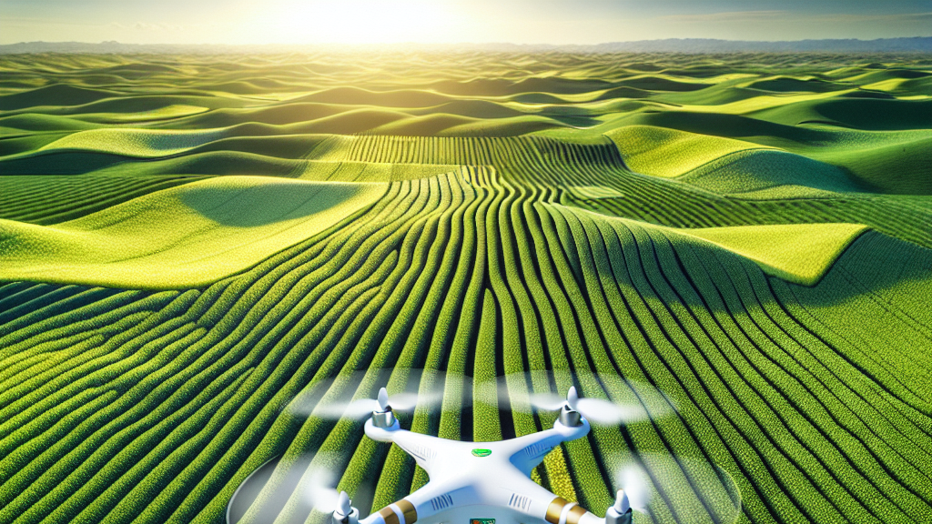





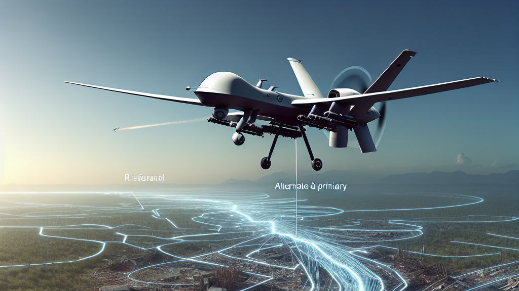




























































Imagine a future where drones seamlessly zip through disaster zones, directly aiding rescue operations and connecting communities with the world even amidst chaos. This research unveils a revolutionary way to not only speed up drones in accessing these areas but also slash costs associated with their pathfinding. **Why does this matter?** Faster drone response times mean quicker aid and stabilized communication in areas devastated by natural disasters.
Drones are amazing tools in disaster relief, hovering over areas human rescuers may struggle to reach. But, picking the best routes for them isn’t just about speed; it’s also about efficiency. Researchers have introduced a cluster optimization method employing the Henry gas optimization algorithm to chart the shortest, least costly drone paths. This method was put to the test against other popular algorithms and excelled, particularly in less challenging environments, cutting transportation costs by nearly 40 percent!
Think about it: during a hurricane, drones could rapidly deploy to provide assistance and restore communications in smart cities globally. Future applications of this research might ensure that no community is isolated during crises, enhancing safety and connectivity. Cities could rely on quicker, more reliable drone responses, improving disaster management like never before.
Did you know drones can reduce disaster response times by optimizing their flight paths, ultimately slashing costs and boosting efficiency?
FAQs
How does optimizing drone paths help in disasters?
Optimizing drone paths ensures they can quickly and efficiently navigate disaster areas, minimizing time and cost, which speeds up rescue operations and stabilizes communications.
What makes the Henry gas optimization algorithm special for drones?
The Henry gas optimization algorithm is adept at finding cost-effective and efficient paths for drones, outperforming other algorithms in various scenarios, which is crucial for fast and reliable disaster response.
How much better is the Henry gas optimization algorithm compared to others?
In ambient environments, the Henry gas optimization algorithm achieved a 39.3% reduction in transportation cost and a 16.8% decrease in computation time compared to the particle swarm optimization algorithm, showing significant efficiency increases.
Can this technology be applied outside disaster scenarios?
Yes, optimized drone paths can be beneficial in numerous applications, from logistics to urban planning, wherever efficient aerial navigation is required.
What scenarios were tested with the Henry gas optimization algorithm?
The algorithm was tested in four environments: ambient, constrict, tangled, and complex, demonstrating its robustness and adaptability in various conditions.
Background
Unmanned aerial vehicles, or drones, are rapidly becoming essential tools for various sectors, including emergency response. When employed in crisis zones, selecting the best possible path for drones is crucial to ensure they can deliver aid quickly and efficiently. This process, known as trajectory optimization, involves minimizing the time and resources needed for navigation. The Henry gas optimization algorithm is a modern approach to solving complex pathfinding challenges by mimicking the natural movement of gas molecules to find efficient solutions.
History
The concept of optimizing paths for drones has evolved alongside technological advancements in computation and algorithms. Early methods relied heavily on basic pathfinding techniques, which were often inefficient in complex or changing environments. Over time, more sophisticated metaheuristic algorithms, such as particle swarm optimization and grey wolf optimization, have been developed to improve efficiency. This study introduces the Henry gas optimization algorithm, a novel method that builds on and surpasses these earlier algorithms, as demonstrated in various complex scenarios.
Based on “Autonomous Trajectory Optimization for UAVs in Disaster Zone Using Henry Gas Optimization Scheme” by Zakria Qadir, Muhammad Bilal, Guoqiang Liu, Xiaolong Xu, available on arXiv (arxiv.org/abs/2506.15910), used under CC BY 4.0 (creativecommons.org/licenses/by/4.0/).