














































Wildfires are becoming more destructive than ever, thanks to climate change. Traditional methods of predicting their spread just aren’t cutting it anymore. The increase in intensity and frequency requires a new approach that might just be on the horizon with AI.
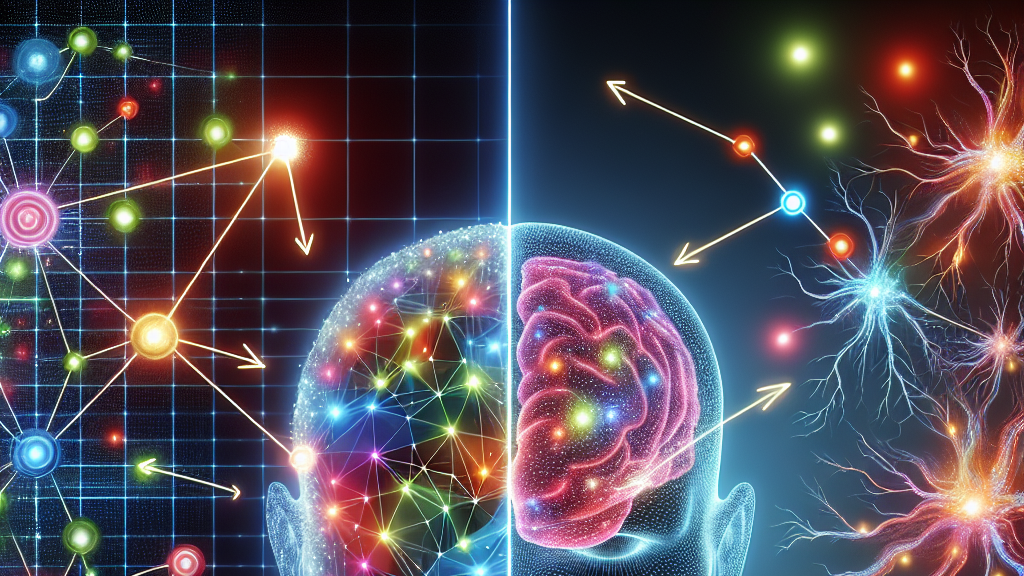
In the world of artificial intelligence, Vision Transformers are gaining traction because they’re able to learn more about their surroundings than ever before. Compared to older methods like Convolutional Neural Networks, which can be heavy to train and sometimes miss the bigger picture, Vision Transformers look at the whole shebang—both the small details and the big scene. This research shows that while Vision Transformers can definitely play ball, a well-tuned network like the UNet still holds its ground firmly in predicting wildfires through satellite imagery.
Imagine this technology deployed widely, predicting where wildfires might blaze up next with incredible accuracy. Firefighters could have an early heads-up, getting to locations faster or determining where to focus their efforts to prevent a catastrophe. This isn’t just about winning the tech race; it’s about protecting our planet and saving lives.
Did you know that the 2020 wildfire season in California burned over 4 million acres, equivalent to more than the size of Connecticut?
FAQs
How can Vision Transformers improve wildfire detection?
Vision Transformers are a type of artificial intelligence that can process both local and global information from satellite imagery, potentially allowing for more accurate predictions about where wildfires might start next.
Are Vision Transformers better than traditional Convolutional Neural Networks for detecting wildfires?
While Vision Transformers can offer a broader perspective and are easier to train, the research suggests that highly refined Convolutional Neural Networks, like the UNet, still offer superior accuracy in detecting wildfires in specific scenarios.
Why does AI matter in wildfire detection?
AI can provide faster and potentially more precise wildfire predictions, allowing for quicker response times that could save forests, wildlife, and human properties from devastating fires.
How does satellite imagery help in wildfire detection?
Satellite imagery provides a comprehensive view of large land areas, which AI models can analyze to detect early signs of wildfires, such as unusual heat patterns or smoke plumes.
What advances have been made in wildfire prediction technologies?
Recent advances include the use of deep learning models like Vision Transformers and Convolutional Neural Networks, which can analyze vast amounts of satellite data more efficiently and with greater accuracy than older methods.
Background
Wildfires are increasing due to climate change, posing greater risks to ecosystems and human lives. Predicting wildfires accurately is crucial for timely intervention. Convolutional Neural Networks and Vision Transformers are types of artificial intelligence used to analyze satellite imagery for early signs of wildfires. While CNNs focus on local image details, ViTs have the potential to understand the bigger picture by incorporating both local and global data.
History
Historically, wildfire prediction relied heavily on weather forecasts and on-ground observations. The introduction of satellite imagery allowed for a broader perspective, leading to the use of AI technologies like Convolutional Neural Networks to analyze these images. Now, Vision Transformers are emerging as a promising tool, offering a new way to process large data sets more efficiently.
Based on “Fighting Fires from Space: Leveraging Vision Transformers for Enhanced Wildfire Detection and Characterization” by Aman Agarwal, James Gearon, Raksha Rank, Etienne Chenevert, available on arXiv (arxiv.org/abs/2504.13776), used under CC BY 4.0 (creativecommons.org/licenses/by/4.0/).