












































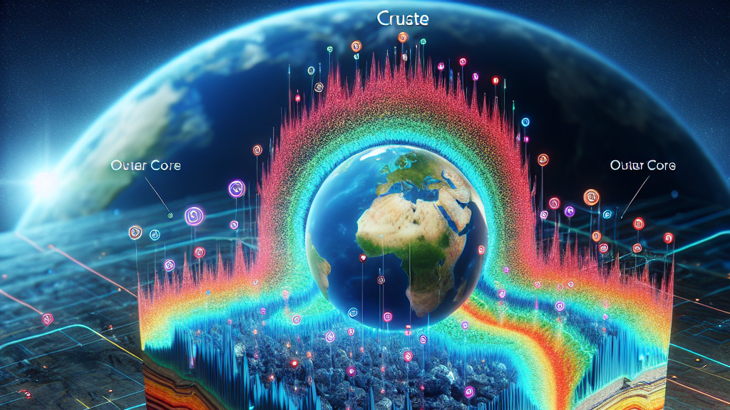
Ever wonder what’s lurking beneath the ground we walk on every day? A new tech combo, mixing artificial intelligence with seismic imaging, might have the answer. Scientists are exploring how these cutting-edge technologies could uncover hidden underground layers like never before, giving us a clearer picture of Earth’s mysterious depths.
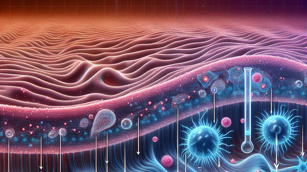
The research dives into a blend of deep learning and full-waveform inversion (fancy terms for powerful computerized ways of seeing below the Earth’s surface). This combination is like giving vision to sonar: the sound waves bounce back a picture of what’s below. With AI’s help, this tech aims to solve key challenges such as figuring out the precise underground structures and dealing with the messiness of data, turning it into a clearer and more reliable image of what’s beneath our feet.
Imagine if we could predict where valuable minerals or oil might be hidden, or even foresee impending earthquakes way before they strike. That’s the real-world promise of this technology. By applying AI to seismic imaging, not only can we improve exploration for natural resources, but also enhance our understanding and preparedness for natural disasters, making our world a little safer and richer.
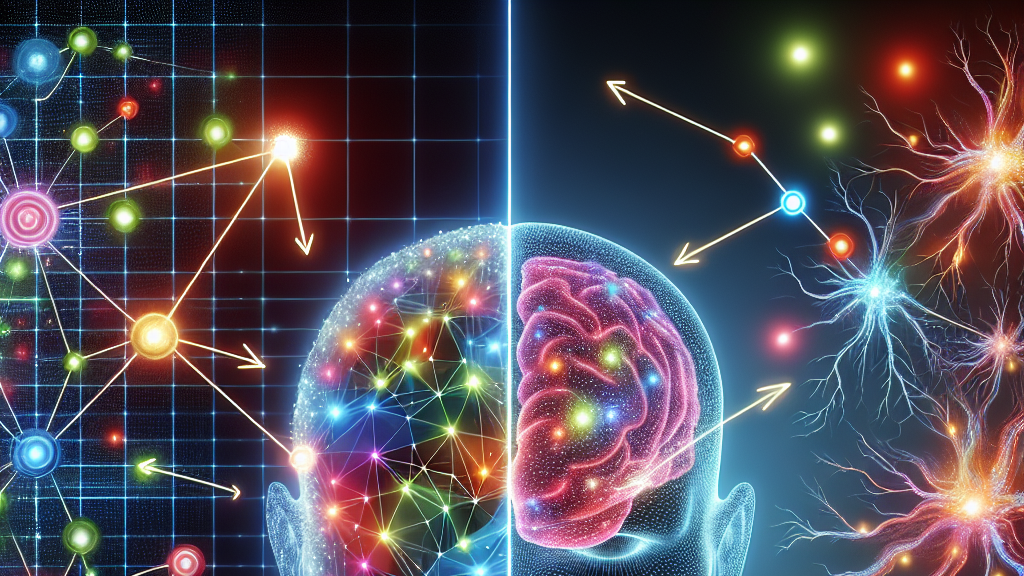
Deep learning is like teaching machines to recognize patterns, just like our brains do when we learn new things!
FAQs
What is deep learning, and how does it relate to seismic imaging?
Deep learning is a branch of artificial intelligence where machines learn to recognize patterns and make decisions based on data. In seismic imaging, it helps analyze the complex waves that travel through the Earth to create clearer images of the underground layers.
How can this research improve resource discovery?
By enhancing the accuracy and reliability of seismic imaging, this research allows for better identification of underground resources like oil and minerals, potentially leading to more efficient and successful exploration efforts.
Could this technology predict natural hazards?
Yes, the improved imaging and understanding of subsurface conditions could lead to better predictions and early warnings for natural events like earthquakes, helping in disaster preparedness and minimizing potential damage.
Background
Deep learning is a form of artificial intelligence where computers are trained to recognize patterns and make predictions based on large sets of data, similar to how our brains work. Full-waveform inversion is a sophisticated technique used in geophysics to interpret seismic data and create detailed images of the underground layers. Combining these methods can improve the precision of subsurface characterization.
History
Seismic imaging has been around for decades, traditionally relying on simpler methods to interpret waves traveling through the Earth. The introduction of advanced computing and deep learning has opened new possibilities, allowing for more complex and accurate analysis. This research builds on years of development in both AI and geophysics, seeking to revolutionize our perception and capabilities in subsurface imaging.
Based on “Synergizing Deep Learning and Full-Waveform Inversion: Bridging Data-Driven and Theory-Guided Approaches for Enhanced Seismic Imaging” by Christopher Zerafa, Pauline Galea, Cristiana Sebu, available on arXiv (arxiv.org/abs/2502.17585), used under CC BY 4.0 (creativecommons.org/licenses/by/4.0/).