






























































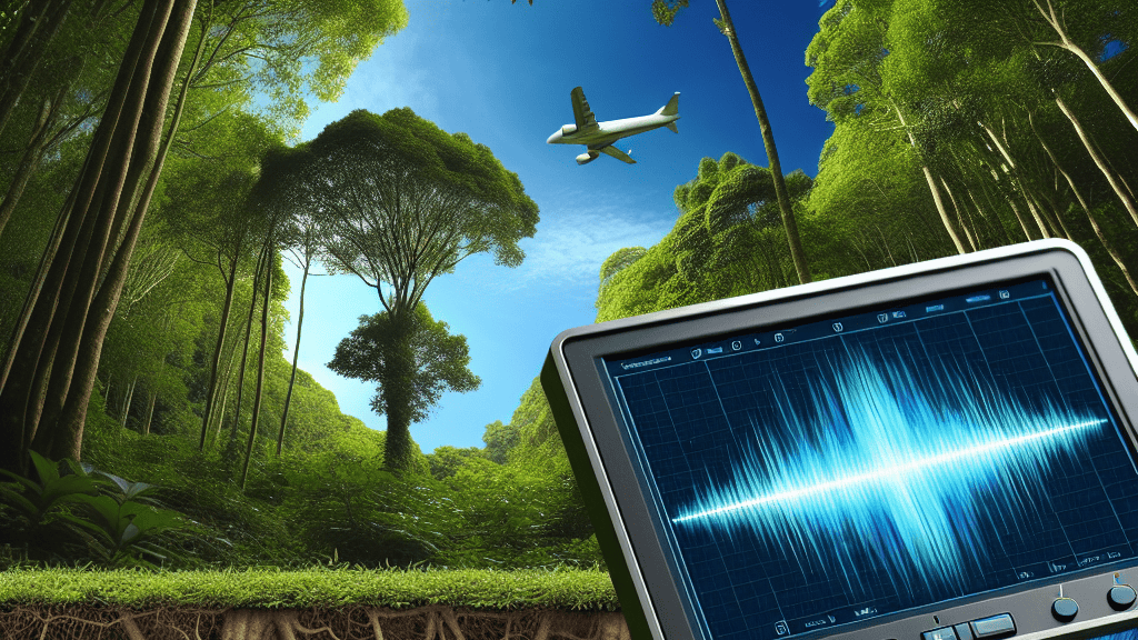
Imagine if we could see what’s happening under our feet, right where tree roots are bustling to support giant trees above ground. That’s exactly what’s being unlocked as researchers use ground-penetrating radar technology to uncover the secrets hidden beneath our forests. This innovative use of radar allows us to map out tree roots with precision, offering insights into how trees sustain themselves and contribute to thriving ecosystems.
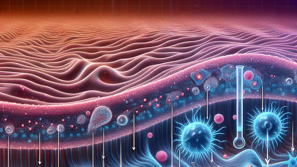
The research focuses on using radar waves to penetrate the ground and bounce back, providing a snapshot of what’s going on underneath. By measuring how long it takes these waves to travel to the roots and back, scientists can create detailed maps, or ‘radargrams,’ to show where the roots are located. Not only does this help in understanding root structures without digging up the earth, but it also reveals how these roots interact with different soil layers, something crucial for forest management and ecosystem health.
In the future, this technology could transform our approach to forest conservation by allowing us to focus on areas where tree root systems are thriving, or struggling, thus helping us make informed decisions. Imagine being able to predict which trees might need help or where nutrients can be added to boost growth—this newfound vision could empower better forest health management, directly impacting our environment and the resources we rely on every day.
Did you know that tree roots can stretch as far beneath the ground as a tree is tall?
FAQs
What unexpected discovery did scientists make?
They found that ground-penetrating radar can accurately map tree roots underground, revealing their structures without any digging.
Why is this research important for ecosystems?
Understanding root systems can help improve tree health, boost forest productivity, and maintain ecosystem balance.
How does radar mapping affect tree care?
It helps identify which trees need nutrients or care, improving forest management and conservation efforts.
What challenges does radar face in mapping roots?
Higher radar frequencies can blur the images due to signal attenuation, limiting detection depth.
How might this technology be used in the future?
It could revolutionize how we monitor and manage forest ecosystems, ensuring they remain healthy and sustainable.
Background
Ground-penetrating radar (GPR) is a technology that uses electromagnetic waves to create images of what’s below the ground’s surface. When these waves hit an object or boundary, like tree roots or different soil layers, they bounce back to the radar device, which then records the time it takes for the waves to travel. This information is used to map the underground features without disturbing the soil.
History
The use of radar technology in ecological studies is relatively new. Initial radar applications began in the geological and construction fields for mapping underground utilities and structures. Over time, as technology evolved, scientists started applying these methods to ecological research, such as tree root mapping, to avoid damaging the natural environment.
Based on “Use of Ground Penetrating Radar to Map the Tree Roots” by Xiaolong Liang, available on arXiv (arxiv.org/abs/2501.09130), used under CC BY 4.0 (creativecommons.org/licenses/by/4.0/).