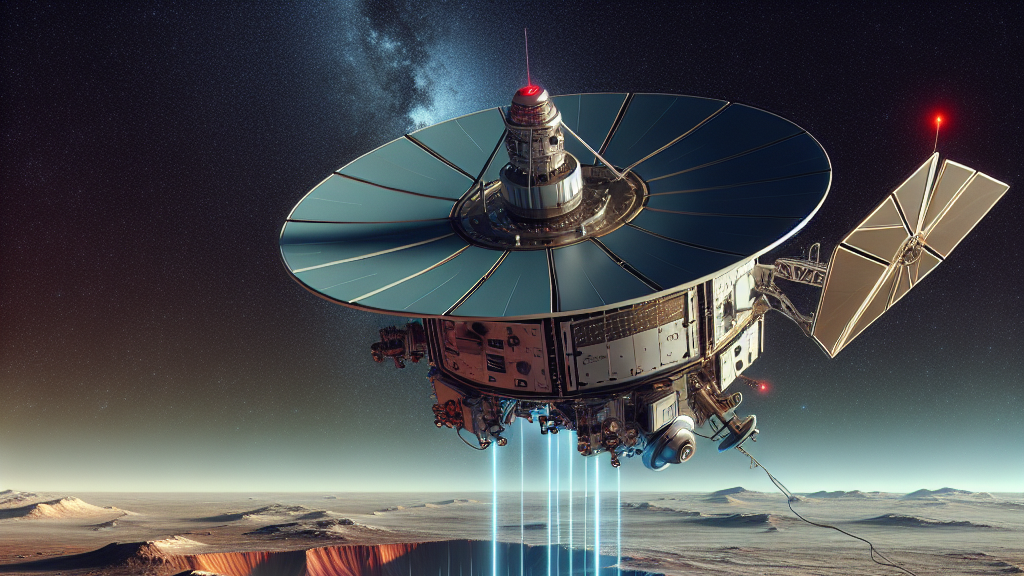



























































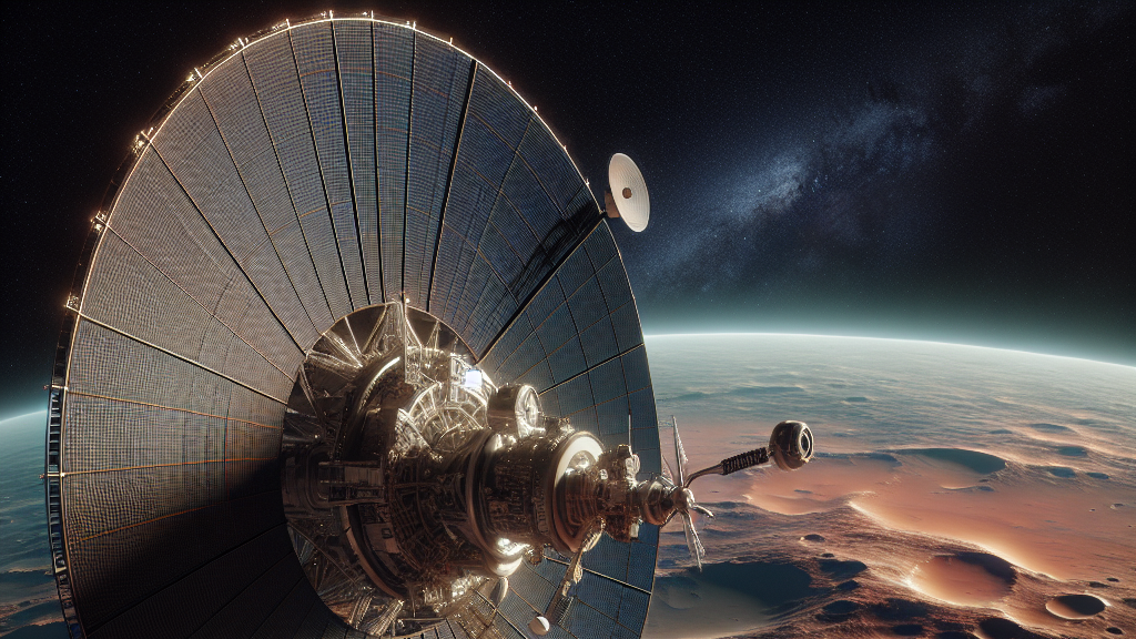
Imagine being able to see deeper than ever before into the mysteries of Mars! That’s exactly what scientists are achieving by tilting the Mars Reconnaissance Orbiter’s radar. This new maneuver allows them to explore up to 1500 meters beneath the Martian surface, uncovering layers that were previously invisible.
The research team discovered that by rolling the spacecraft a whopping 120 degrees, they could dramatically enhance the clarity and depth of the radar’s signals. This clever adjustment has boosted signal clarity by up to 14 times, revealing incredible details about Mars that were hidden from view. These new radar techniques have allowed scientists to detect features buried in both icy and rocky terrains.
This breakthrough in radar technology doesn’t just mean we can see more; it also means we can learn more about Mars’s history and geology. For example, these findings could help identify locations with ice or water, which are crucial for future human exploration. As we continue to apply this innovative approach, we could potentially uncover vital clues about the planet’s past, aiding our quest to unravel the Red Planet’s secrets.
The Mars Reconnaissance Orbiter’s radar can now see 1500 meters deep into the Martian ice, which is as deep as the Empire State Building is tall!
FAQs
How does the Mars Reconnaissance Orbiter’s radar technology work?
The Mars Reconnaissance Orbiter uses a radar system that sends signals toward the Martian surface and measures the echoes that bounce back. By analyzing these echoes, scientists can map the subsurface layers of Mars, revealing information about its composition and structure.
What makes the new radar roll maneuver significant?
The new 120-degree radar roll maneuver significantly enhances the signal clarity and depth of penetration by tilting the radar. This allows scientists to see up to 1500 meters beneath Mars’s surface, unveiling hidden geological features and improving our understanding of the planet.
How could enhanced radar capabilities affect future Mars exploration?
Improved radar capabilities can help identify locations of ice or water on Mars, which are critical resources for future human missions. Understanding subsurface conditions also aids in selecting landing sites and assessing potential risks and resources for exploration.
Why is it important to explore deeper into Mars’s surface?
Exploring deeper into Mars’s surface can provide valuable insights into its geological history, climate evolution, and potential for past life. It also helps identify areas of interest for scientific study and supports planning for future missions and exploration efforts.
Background
The key scientific concept here involves using radar technology to peer into the surface of Mars. Radar works by sending out radio waves and measuring the time it takes for them to bounce back. By doing so, scientists can determine the characteristics of the surface and subsurface materials. The Mars Reconnaissance Orbiter’s radar, known as SHARAD, is particularly adept at this and is now being used with new strategies to improve its effectiveness.
History
Mars exploration has long relied on various tools to uncover its secrets. Historically, the Mars Reconnaissance Orbiter, launched in 2005, has been a significant player in studying the Martian atmosphere, surface, and potential water presence. This latest study builds on previous radar technology advancements that allowed for moderate depth exploration, now enhancing the potential to view deeper into Mars than ever before.
Based on “SHARAD Illuminates Deeper Martian Subsurface Structures with a Boost from Very Large Rolls of the MRO Spacecraft” by Nathaniel E. Putzig, Gareth A. Morgan, Matthew R. Perry, Bruce A. Campbell, Jennifer L. Whitten, Fabrizio Bernardini, Alessandro DiCarlofelice, Pierfrancesco Lombardo, available on arXiv (arxiv.org/abs/2505.21810), used under CC BY 4.0 (creativecommons.org/licenses/by/4.0/).