



































































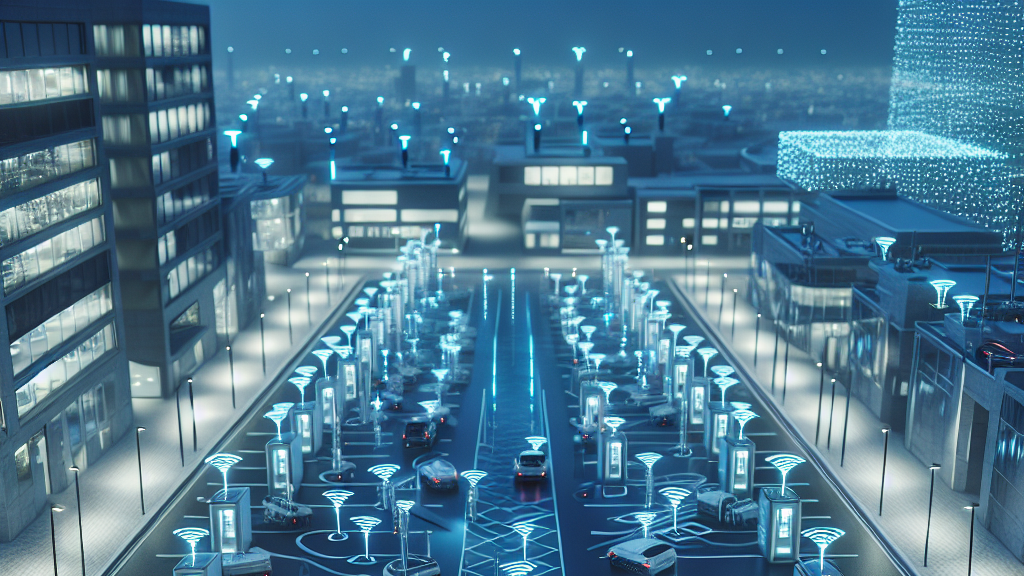
Parking in growing neighborhoods can be a real headache, right? Either there aren’t enough spots, or the process to find them is a total hassle. But what if I told you there’s a game-changing way to manage parking efficiently using simple, affordable tech? Enter the world of road tubes and traffic counters that could transform how your community handles parking, saving both time and money. Sounds like a win-win, doesn’t it?
Here’s how it works. Researchers have found an ingenious way to use road tubes—those rubbery lines you sometimes see stretched across the road—connected to traffic counters to get an accurate picture of how parking spots are being used. The data is analyzed with specialized software, and the results are double-checked with custom scripts to avoid errors. This means community planners can know exactly how many cars are taking up space without having to count them manually over and over again. It’s not just about numbers; it’s about making smarter choices.
Imagine visiting your local community center, and instead of driving around endlessly looking for a spot, you glide into a perfectly planned space with ease. This could become a reality as neighborhoods adopt this technology to better prepare for the future. By understanding when and where parking demand peaks, planners can tweak capacity, improve traffic flow, and schedule community events more efficiently. It’s like having a crystal ball that helps you dodge parking woes and enhances your neighborhood life.
Did you know that some communities spend thousands of dollars annually just trying to understand how parking spaces are used?
FAQs
How does this parking management technology work?
By using road tubes linked to portable traffic counters, this system gathers data on parking space usage. The data is analyzed and refined with custom scripts to provide accurate insights for community planners. This methodology helps reduce the need for manual parking surveillance, making it both cost-effective and efficient.
Why is this parking solution significant for community planning?
This method offers a low-cost alternative to traditional parking data collection, enabling community planners to make informed decisions about expanding parking facilities, improving traffic flow, and scheduling community events. It empowers planners to optimize infrastructure for growing neighborhoods, enhancing resident satisfaction.
What are the potential benefits for residents of such neighborhoods?
Residents could experience less stress and frustration finding parking, with better traffic management and fewer disruptions during community events. This method ensures a smooth daily experience and contributes to a well-organized community environment.
Could this technology impact large cities or only small communities?
While initially tested in smaller communities, this technology has the potential to scale and be applied in larger urban areas. It offers a flexible solution that could assist city planners in managing parking challenges more effectively, regardless of the city’s size.
What makes this approach to parking management cost-effective?
By using affordable technology like road tubes and portable counters, this system cuts down on labor and observation costs traditionally associated with gathering parking data, making it accessible even for communities with tighter budgets.
Background
Understanding parking usage in a community is key to planning for future needs. Traditional methods to collect this data, like manual counting, can be expensive and disruptive. This research proposes using technology often seen in traffic management—road tubes and counters—to gather data in a more cost-effective way.
History
Parking management has evolved from simple manual counting to using advanced technology. Earlier studies often focused on urban areas with large budgets, but recent research has shifted towards finding scalable, affordable solutions for smaller communities. This study builds on previous work by adapting traffic monitoring technology for parking data collection, paving the way for smarter community planning.
Based on “Stretching Rubber, Not Budgets: Accurate Parking Utilization on a Shoestring” by Christopher K. Allsup, available on arXiv (arxiv.org/abs/2502.09877), used under CC BY 4.0 (creativecommons.org/licenses/by/4.0/).