
















































Imagine a wildfire so powerful it could change the face of your city. That’s the reality in urbanized areas like Los Angeles, where wildfires are blazing through rapidly growing regions due to climate change. These fires don’t just threaten our natural spaces, they also encroach upon our homes, roads, and communities—forcing us to rethink how cities are designed and protected.
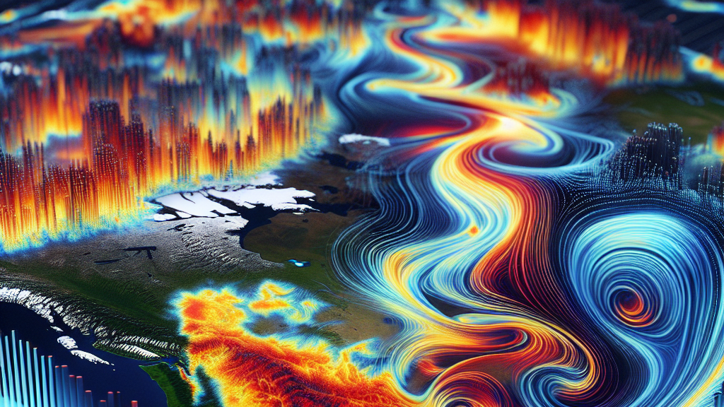
The recent study delved deeply into the 2025 Los Angeles wildfire, using cutting-edge techniques to analyze its devastating effects on both Eaton and Palisades neighborhoods. By studying satellite images, population data, and infrastructure maps, researchers painted a detailed picture of how the wildfire unfolded and affected lives—exposing thousands to danger and costing billions in damages. This approach provides a clearer understanding of the immediate and long-term impacts of wildfires on our environment, economy, and everyday lives.
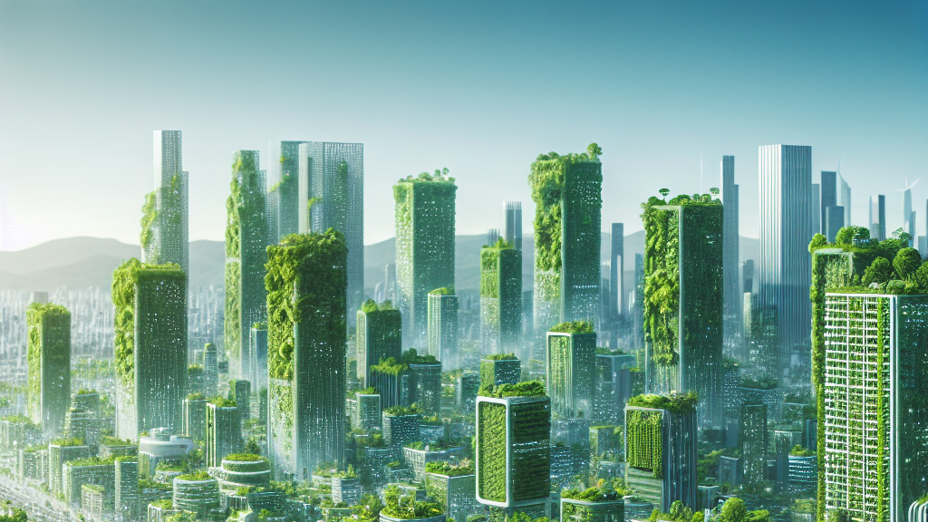
Now, picture a future where cities are fortified against such wildfires through smarter urban planning and robust emergency systems. By applying the findings from this study, we can develop tailor-made strategies to mitigate risks, protect vulnerable communities, and foster resilience. This means better building codes, improved land-use policies, and quicker emergency responses that could save lives and prevent economic losses. The implications of this research could be the key to safeguarding our modern cities against the growing threat of wildfires.
Did you know that wildfires can cause economic losses of up to billions of dollars in just a single day?
FAQs
How have wildfires impacted urban areas like Los Angeles?
Wildfires in urban regions like Los Angeles are increasingly frequent due to climate change and urban sprawl, leading to severe damages to homes, infrastructure, and communities, as well as significant economic losses.
What new methods did researchers use to study the 2025 Los Angeles wildfire?
Researchers used a combination of satellite images, population data, and infrastructure maps to create a detailed evaluation of the wildfires’ impacts, allowing them to study the fire’s progression and effects on natural, built, and social environments.
Why is a tri-environmental framework important for wildfire management?
This framework considers the complex interconnections between social, built, and natural environments, enabling more effective strategies for emergency response, urban planning, and community resilience against wildfires.
What real-world changes might this research inspire in cities?
The insights from this research could lead to improved building codes, smarter land-use policies, and faster emergency response systems, enhancing urban resilience against future wildfires.
How does climate change contribute to the increase in urban wildfires?
Climate change leads to hotter, drier conditions that make regions more susceptible to wildfires, while also intensifying their frequency and severity, posing a growing threat to urban areas.
Background
Wildfires are becoming a significant issue in urban areas due to rapid urban growth and climate change, which brings drier conditions increasing fire risks. The wildland-urban interface (WUI) is where human development meets wild spaces, and this is where fires often have the most devastating effects, impacting not only nature but also human life and infrastructure.
History
For years, the study of wildfires focused largely on natural ecosystems. However, as urban areas encroach on natural spaces, the focus has expanded to understanding how these fires impact cities. Breakthroughs in satellite imaging have allowed for more precise tracking and understanding of wildfires’ progression and their effects on human populations, enabling new research like this one to map out detailed damage assessments.
Based on “Integrating earth observation data into the tri-environmental evaluation of the economic cost of natural disasters: a case study of 2025 LA wildfire” by Zongrong Li, Haiyang Li, Yifan Yang, Siqin Wang, Yingxin Zhu, available on arXiv (arxiv.org/abs/2505.01721), used under CC BY 4.0 (creativecommons.org/licenses/by/4.0/).