


































































Did you know that the way our city streets are planned can unlock secrets about our local climate? It’s not just about how cities look and function, but also about how they breathe heat and pollution. Imagine the power of understanding your city’s microclimate, just through its street network design!
Scientists have uncovered groundbreaking insights by analyzing high-resolution data from 142 cities across the globe. They found that the way streets are laid out in a city can explain the variations in temperature and air pollution across different parts of the city. In simpler words, the city’s street design could help us comprehend and predict climate changes like the urban heat island effect—which is the reason cities often feel hotter than their surrounding areas.
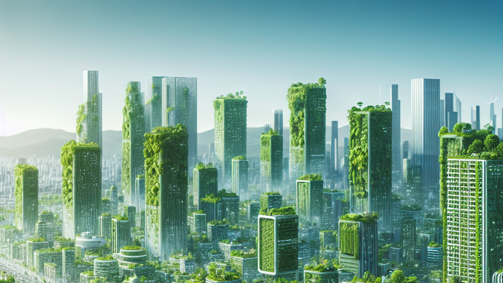
So, what does this mean for the future? Well, city planners might use this discovery to design streets that mitigate extreme temperatures and reduce pollution. Picture a future where the right street design not only makes it easier to get from point A to point B, but also keeps your neighborhood cool and the air fresher. This breakthrough could lead us towards smarter, more sustainable cities that are better equipped to handle climate challenges.
The layout of city streets can predict climate changes like the heat island effect!
FAQs
How do city streets affect the urban heat island effect?
The layout and design of city streets can influence how heat is distributed and retained in urban areas, contributing to the urban heat island effect where cities become significantly warmer than surrounding rural areas.
Why is understanding intra-urban climate variability important?
Understanding intra-urban climate variability helps city planners design better infrastructure that can mitigate extreme temperatures and pollution, improving the quality of life for city residents.
How can this research improve urban planning?
This research provides a statistical framework that urban planners might use to predict how street networks influence urban climates, leading to more sustainable and climate-resilient city designs.
Background
Urban microclimates are the localized climate conditions of a city, affected by buildings, roads, and human activities. Common phenomena include the urban heat island effect, where cities experience higher temperatures than their rural surroundings due to heat absorption by concrete and asphalt. Understanding the relationship between urban design, like street layouts, and these climate factors is essential for tackling climate issues in cities.
History
The study of urban microclimates began with the recognition of the urban heat island effect, first noted in the 19th century. Over time, research has expanded to include various factors influencing urban climates, such as building density and vegetation. This research builds upon these foundations by introducing a new way to predict urban climate characteristics through detailed street network analysis.
Based on “Universal scaling of intra-urban climate fluctuations” by Marc Duran-Sala, Martin Hendrick, Gabriele Manoli, available on arXiv (arxiv.org/abs/2505.19998), used under CC BY 4.0 (creativecommons.org/licenses/by/4.0/).