
























































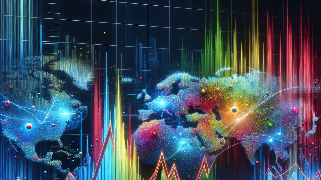





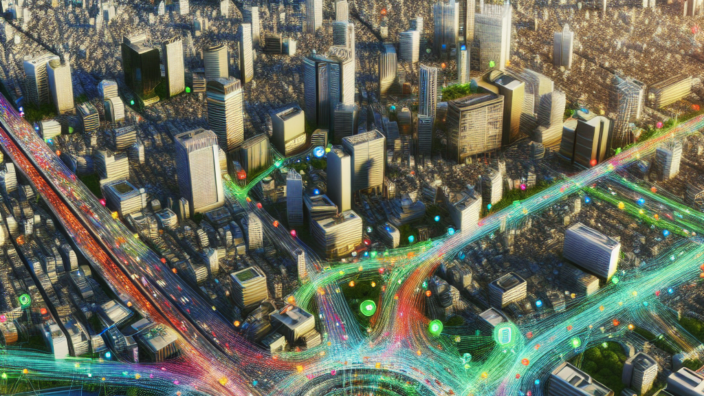
**Imagine a world where your daily commute is mapped by images from space!** That’s not a sci-fi movie plot; it’s the future of understanding how we move around our cities, thanks to a groundbreaking discovery. Scientists have uncovered that satellite images hold the key to revealing where and when people travel in urban areas, using sophisticated algorithms to paint a picture of our daily movements. This isn’t just cool; it has real implications for city planning and managing the hustle and bustle of city life more efficiently. Imagine fewer traffic jams, better public transportation, and cities that grow without chaos, all thanks to satellite technology hovering miles above us. This breathtaking insight changes everything we thought we knew about urban mobility. Instead of relying on expensive surveys or invasive data collection methods, researchers are tapping into satellite images to understand commuting patterns. By using a clever tool called GlODGen, these scientists can extract meaningful data from the images, which is then combined with population statistics to map how people move. It’s like having a city’s pulse at your fingertips, all without anyone needing to answer a single survey question. Isn’t that incredible? But how does this all affect you? Well, this research can lead to smarter cities tailored to the needs of its residents. Imagine your work commute being smoother because city planners can anticipate and design around traffic patterns using this data. Public transit systems could be enhanced to cater precisely to areas of high demand. Plus, this method respects your privacy and doesn’t rely on tracking individual movements. It’s a vision of the future where technology and human behavior beautifully intersect to make everyday life a little bit better.
Did you know? Satellite images capture rich urban data that can reveal almost all the information needed to map people’s daily commutes!
FAQs
How can satellite images map my daily commute?
Satellite images contain rich semantic information about urban landscapes, which can be interpreted to understand human movement patterns. By extracting signals related to human mobility from these images, researchers can map out commuting flows without tracking individuals.
What is the benefit of using GlODGen for city planning?
GlODGen generates Origin-Destination (OD) flow data cost-effectively and with high privacy protection, which supports urban planners in creating more efficient and responsive city layouts, improving public transit routes, and reducing traffic congestion.
How accurate is the data generated by GlODGen compared to traditional methods?
GlODGen has been shown to be highly accurate, achieving more than 98% expressiveness compared to traditional, hard-to-collect data sources, making it a reliable tool for understanding urban mobility around the world.
Is the use of satellite imagery in urban planning a new concept?
While satellite imagery has been used to study landscapes and environmental changes, using it to map and analyze commuting patterns in cities is a novel approach that opens up new possibilities for data collection.
How does GlODGen protect privacy?
GlODGen does not track individual movements. Instead, it uses aggregated data from satellite images to understand broader commuting patterns, ensuring that individual privacy is maintained.
Background
Commuting Origin-Destination (OD) flows are the pathways people take daily between their homes and places of work or other destinations. Understanding these flows can help city planners optimize infrastructure and services. However, collecting this data has been expensive and invasive, often involving comprehensive surveys or tracking individual movements. Satellite imagery offers a new, non-intrusive way to gather this information by using vast amounts of visual data to infer commuting patterns.
History
Traditional methods of collecting commuting data involve detailed surveys or tracking individual movement, which pose privacy risks and are costly. The advent of satellite imagery allowed researchers to view cities from above, but it’s only recently that advances in data analysis and the development of models like GlODGen have harnessed this visual data to understand human mobility. This approach builds on previous methods by offering a global, consistent, and less intrusive way of obtaining commuter data.
Based on “Satellites Reveal Mobility: A Commuting Origin-destination Flow Generator for Global Cities” by Can Rong, Xin Zhang, Yanxin Xi, Hongjie Sui, Jingtao Ding, Yong Li, available on arXiv (arxiv.org/abs/2505.15870), used under CC BY 4.0 (creativecommons.org/licenses/by/4.0/).