

























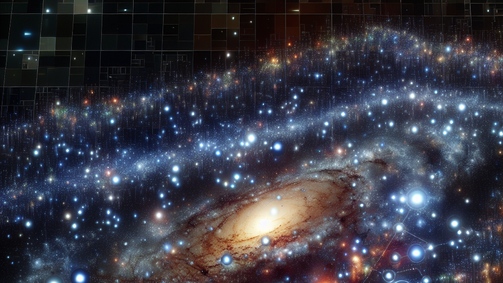









































Could the satellites orbiting high above us reveal where people commute every day? It might sound like something out of a spy movie but it’s actually a groundbreaking advancement in urban planning. By harnessing the power of satellite imagery, researchers are finding ways to predict how we move through our cities without the need for costly and privacy-invading travel surveys.
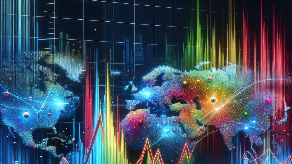
The magic happens thanks to a new tool called GlODGen. This tool analyzes city scenes from space to pick up on signals that represent urban life, such as human mobility. By combining these signals with population data, GlODGen can create a detailed map of where people travel each day across various global cities. And the best part? This method has shown remarkable accuracy and can adapt to different cities’ unique environments, meaning it’s useful no matter where you are in the world.
Imagine the impact on city planning! Urban developers could use this data to design better public transport systems, reduce traffic congestion, and make our cities more sustainable. Whether you’re a city official or just someone hoping for less traffic on your commute, this tech could be a game-changer by providing insights without infringing on personal privacy.
Did you know that 98% of the insights gathered from expensive and intrusive surveys can be replaced by analyzing satellite images?
FAQs
How does satellite imagery help track daily commutes?
By analyzing satellite images, researchers can identify urban activity patterns that reflect how people move through a city. This process provides insights similar to those from detailed travel surveys but without the privacy invasions and high costs.
What is GlODGen and how does it work?
GlODGen is a tool that uses satellite images combined with demographics to map people’s movement patterns in cities. It identifies urban signals from space and uses graph diffusion models to predict where people travel daily.
Why is using satellite data for tracking mobility better?
Satellite data offers a non-invasive and cost-effective way to gather insights on population movement, providing a privacy-friendly alternative to traditional methods.
Can this technology be applied to any city globally?
Yes, GlODGen has been tested on cities across different continents and has shown it can effectively generate accurate OD flow data for diverse urban environments around the world.
What are the real-world applications of GlODGen?
City planners can leverage GlODGen to improve public transportation networks, manage traffic better, and design more sustainable urban spaces, making cities more efficient and livable.
Background
Understanding how people move within cities is crucial for efficient urban planning and development. Traditional methods of gathering this data, like surveys, often face challenges such as high costs and privacy concerns. However, satellite imagery, which is widely available and less intrusive, has emerged as a potent alternative by capturing urban patterns that reflect human mobility.
History
In recent years, the exploration of satellite data for urban analysis has grown, fueled by the demand for smart and sustainable city solutions. Previously, costly and privacy-sensitive traditional methods dominated the field. The introduction of tools like GlODGen marks a significant shift, leveraging advanced tech to blend satellite insights with demographic patterns, offering a new dimension to understanding urban mobility.
Based on “Satellites Reveal Mobility: A Commuting Origin-destination Flow Generator for Global Cities” by Can Rong, Xin Zhang, Yanxin Xi, Hongjie Sui, Jingtao Ding, Yong Li, available on arXiv (arxiv.org/abs/2505.15870), used under CC BY 4.0 (creativecommons.org/licenses/by/4.0/).