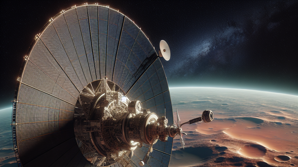































































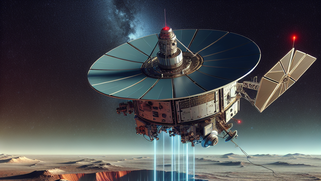
Imagine being able to see through the ground as if it were glass. That’s what the Mars Reconnaissance Orbiter has been doing on its mission around the Red Planet. By trying a new technique of rolling in space, this advanced satellite is able to peer deeper into Mars than ever before, revealing hidden secrets that were previously out of reach.
Recently, scientists made a breakthrough with the Orbiter’s radar. By rolling the spacecraft at a 120-degree angle, they’ve dramatically improved the quality of the radar’s readings. This means that for the first time, we can see clearer images and deeper into Mars’s crust. In areas with low interference, like the Medusae Fossae, the radar was able to detect layers at depths previously unattainable, reaching up to 1500 meters through ice. Such advancements give us a closer look at Mars’s geological history.
This means we could learn more about Mars’s past environments and whether they might have supported life. Imagine a future where this technology could be used on other planets or even here on Earth—to discover underground water sources, ancient ruins, or hidden geological formations. The possibilities are vast, and it all starts with understanding what’s beneath Mars’s dusty surface.
On rare occasions, the Orbiter rolled at a 120-degree angle, which is like turning a car nearly on its side for a better view of the road!
FAQs
How does rolling the Mars Reconnaissance Orbiter help with its observations?
By rolling the Orbiter at a large angle, scientists can improve the clarity and depth of radar signals, allowing them to see further into the Martian surface and uncover hidden geography previously unseen.
What did the Orbiter discover with this new technique?
Using this technique, they detected layers deep beneath the surface of Mars, including in icy and rocky terrains, revealing details about Mars’s geological history that were previously inaccessible.
Why is it important to see deeper into Mars?
Understanding the structures beneath Mars helps scientists learn about past environments that might have supported life, offering insights into the planet’s history and evolution.
Could this technology be used on Earth?
Yes, similar radar technology could be used on Earth to explore hidden underground features, like water sources or archaeological sites, that are not easily accessible.
What areas of Mars are being studied more closely with this radar technique?
The Orbiter is focusing on polar terrains and regions with glaciers, sediments, and volcanic areas to gain a better understanding of the planet’s geological makeup.
Background
The Mars Reconnaissance Orbiter uses a radar system called SHARAD to analyze the surface and subsurface of Mars. This radar system emits radio waves that penetrate the Martian surface and then bounce back. The way these waves return can tell scientists a lot about what’s below the surface, like ice and rock layers. Traditionally, the radar’s position limited its effectiveness, but by rolling the spacecraft, scientists can get clearer, deeper readings.
History
Radar technology has long been used to explore planetary surfaces from space, providing insights that optical cameras cannot. With Mars, previous missions provided a baseline understanding of the surface, but limitations in radar technology meant certain features remained elusive. By rolling the spacecraft, this latest advancement builds directly upon earlier efforts, enabling scientists to delve deeper and potentially rewrite the geologic history of the Red Planet.
Based on “SHARAD Illuminates Deeper Martian Subsurface Structures with a Boost from Very Large Rolls of the MRO Spacecraft” by Nathaniel E. Putzig, Gareth A. Morgan, Matthew R. Perry, Bruce A. Campbell, Jennifer L. Whitten, Fabrizio Bernardini, Alessandro DiCarlofelice, Piero Tognolatti, Pierfrancesco Lombardo, available on arXiv (arxiv.org/abs/2505.21810), used under CC BY 4.0 (creativecommons.org/licenses/by/4.0/).